Council’s tsunami planning has been informed by leading tsunami research. We know where a maximum-credible tsunami is predicted to go, how deep it will be and how quickly it could arrive.
Tsunami safe location
Due to the Mauao landslide event on Thursday, 22 January, Mauao is closed to the public until further notice. In the event of a tsunami, the tsunami safe locations for Mount Maunganui are at Mount Drury and at Blake Park, between Maunganui Road and Totara Street.
Tsunami evacuation zone maps are about where people should go to be safe during a tsunami. Tsunami evacuation zones maps found on our webpage. These tsunami evacuation zone maps and signs around Tauranga will be updated in early 2026 based on the updated tsunami inundation data.
We have recently received updated tsunami inundation modelling from Bay of Plenty Regional Council. A tsunami inundation area is the area that could be covered by water if a tsunami hits. This new modelling has been applied to property files of affected properties. For more information on tsunami inundation areas please see our FAQs on tsunami.
A strong or long earthquake is the first warning that a tsunami might be on the way. Do not wait for official warnings to evacuate. If there is an official warning, then evacuate from the zones as stated in the warning.
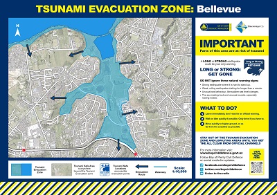
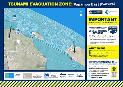
Use these maps to plan your own evacuation route. Each map reflects our best knowledge for that area at the time of publication. The evacuation maps are based on a modelled 14m high tsunami wave.
The blue zone represents an area that will not be safe in the event of a tsunami. Blue Means Go: in a tsunami warning, Get Out of the Blue. The blue arrows on the maps show the fastest routes to walk to safety.
Tsunami Maps
All Tsunami maps on this page are printable and can be done from your home computer if you have a printer installed. To print please select the map you want by clicking on it and selecting the print icon in the top right-hand corner
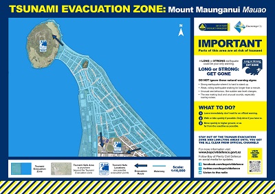
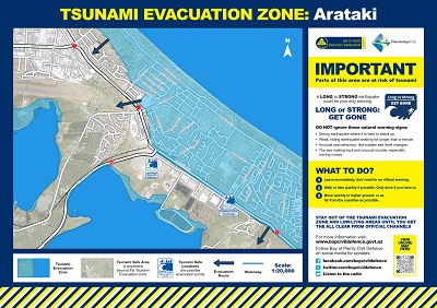
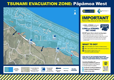
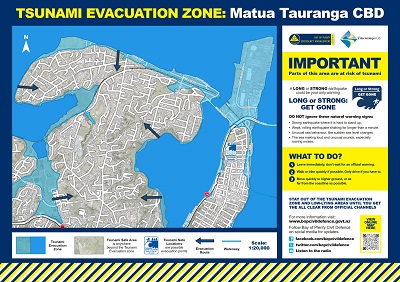
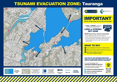
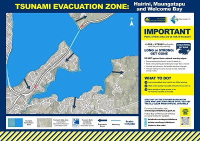
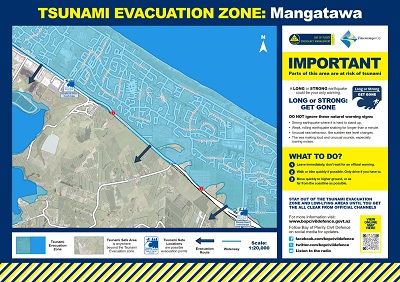
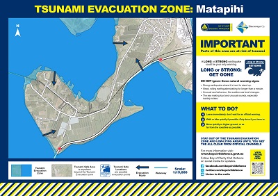
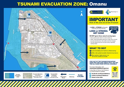
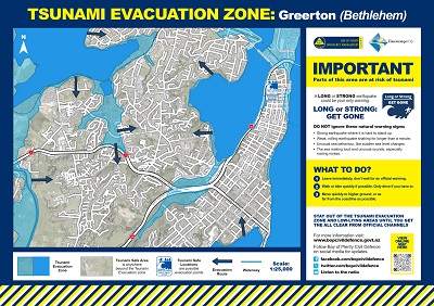
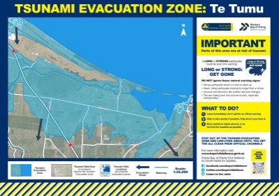
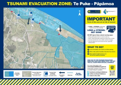
Tsunami evacuation map - Mount Maunganui (2.85mb pdf) Tsunami evacuation map Arataki (2.4mb pdf)
Tsunami evacuation map - Bellevue (3.5mb pdf) Tsunami evacuation map - Papamoa East (2mb pdf)
Tsunami evacuation map - Papamoa West (1.8mb pdf) Tsunami evacuation map - Tauranga (3mb pdf)
Tsunami evacuation map - Matua (2.6mb pdf) Tsunami evacuation map - Mangatawa (2.5mb pdf)
Tsunami evacuation map - Matapihi (1.7mb pdf) Tsunami evacuation map - Omanu (2.2mb pdf)
Tsunami evacuation map - Greerton (3mb pdf) Tsunami evacuation map - Welcome Bay (2mb pdf)
Tsunami evacuation map - Te Tumu (1.2mb pdf) Tsunami evacuation map - Te Puke Papamoa (2.2mb pdf)
Blue zone: this represents the areas a tsunami could reach. If you are in a blue zone following a long or strong earthquake you should evacuate immediately and not wait for an official tsunami warning.
Tsunami safe zone – the areas not highlighted in blue are safe from a tsunami because they are sufficiently high or inland.